Las Vegas Maps & Route Guides - Personal Sedan Services

Maps & Routes

Las Vegas Maps & Routes – How Far, How Long & Best Ways to Travel

Visitors planning their Las Vegas trip often ask:

πŸ‘‰ β€œHow far is the airport from the Strip?”
πŸ‘‰ β€œWhat’s the best way to get from Vegas to Los Angeles?”
πŸ‘‰ β€œHow long is the drive from the Strip to Hoover Dam?”

At Personal Sedan Services, we bring together all the most common route, distance, and travel time questions. Whether you’re moving between neighborhoods, going from the airport to Fremont Street, or planning a drive to the Grand Canyon, you’ll find the details and links to deeper guides here.

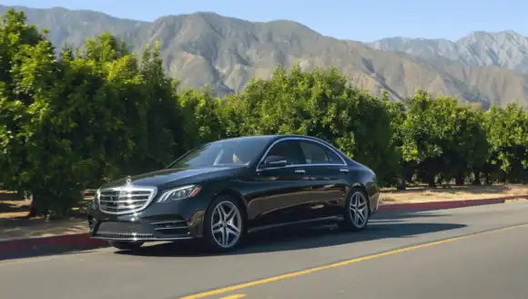
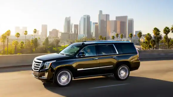
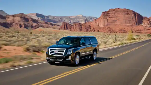
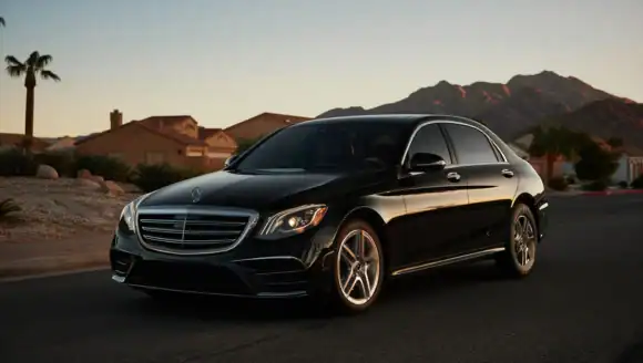
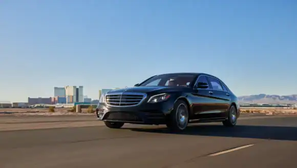
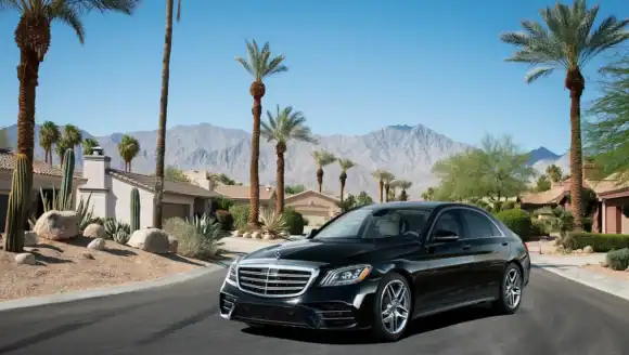
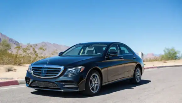
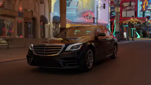
See Our Fleet of Luxury Vehicles


Maps of Las Vegas & Beyond

A map can make trip planning easier. Here are useful maps for visitors, event planners, and groups:

  • Las Vegas Strip Map (Hotels & Casinos): Full map of Strip resorts with walking routes.
  • Downtown / Fremont Street Map: Casino district, Fremont Experience, and parking.
  • Las Vegas Convention Center Map: Show halls, shuttle pickup points, and nearby hotels.
  • Airport to Strip Transfer Map: Routes from Harry Reid International to Strip properties.
  • Parking Maps: Major hotels, Strip garages, and convention center parking.
  • Nightlife & Entertainment Map: Clubs, arenas, and theaters across the city.
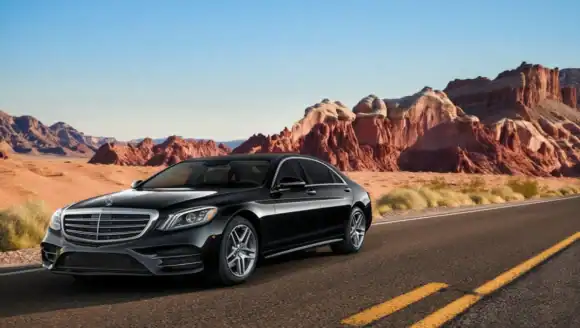
  • Tourist Attractions Map: Hoover Dam, Red Rock, Valley of Fire, and Grand Canyon access routes.
  • Regional Driving Maps: Las Vegas to Los Angeles, Phoenix, San Diego, and St. George.
  • Walking Maps: Pedestrian bridges, hotel connections, and Strip walk times.

See All of our Transport Services


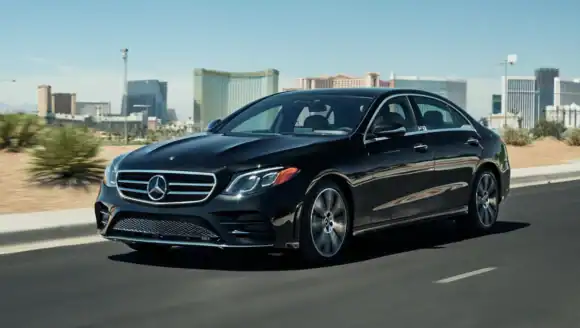
Airport to Strip & Downtown

The most common route question is from the airport to hotels on the Strip or Downtown:

  • Airport ↔ Strip: 3–5 miles, about 10–15 minutes by car.
  • Airport ↔ Fremont Street/Downtown: ~10 miles, about 20 minutes by car.
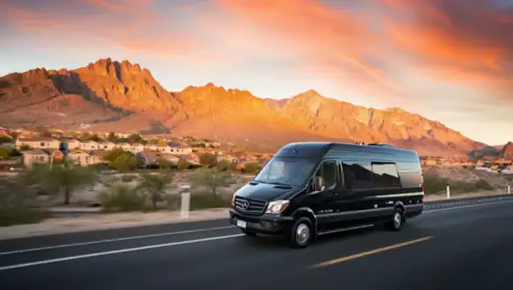
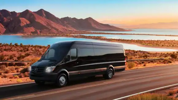
  • Best Options: SUVs, Sprinters, limos for groups; shuttle buses for conventions.

See Airport Shuttle Services


Popular Local Routes

  • Strip ↔ Fremont Street: 5–6 miles, 15–20 minutes by car.
  • Strip ↔ Summerlin: ~20 minutes west of Strip.
  • Strip ↔ Henderson: 20–25 minutes southeast.
  • Paradise / Winchester: Technically where the Strip and Convention Center are located.
  • Walking Distances: Strip hotels are close together, but long blocks mean a β€œshort walk” can be 20+ minutes.

Local Las Vegas Transportation Services


Las Vegas ↔ Nearby Cities

Many visitors plan day trips or transfers between Las Vegas and nearby destinations:

  • Las Vegas ↔ Los Angeles: 270 miles, ~4–5 hours via I-15.
  • Las Vegas ↔ Phoenix: 300 miles, ~5 hours by car.
  • Las Vegas ↔ St. George, Utah: 120 miles, ~2 hours.
  • Las Vegas ↔ San Diego: 330 miles, ~5–6 hours.

Book a Ride for your Vegas Trip


Routes to Major Venues & Attractions

Las Vegas is also a hub for sports, conventions, and nearby natural wonders:

  • Allegiant Stadium: 5–10 minutes west of the Strip.
  • T-Mobile Arena: Adjacent to Park MGM, just off Las Vegas Blvd.
  • Las Vegas Convention Center (LVCC): East of Strip hotels, accessible via Paradise Rd.
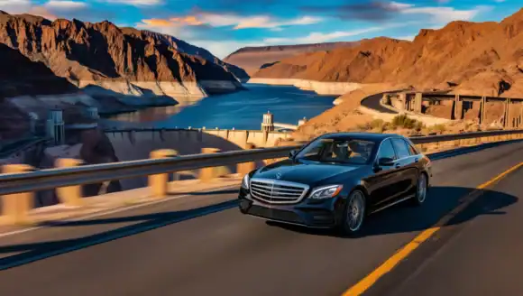
  • Hoover Dam: 35 miles southeast, ~45 minutes by car.
  • Grand Canyon (West Rim): 125 miles, ~2 hours by car.

See Event Transportation Services


FAQs About Maps & Routes

Q: How far is Downtown from the Strip?
A: About 5–6 miles, or 15–20 minutes by car.

Q: What’s the fastest way to get from the airport to Fremont Street?
A: Private SUVs or Sprinters are fastest; shuttles can take longer due to multiple stops.

Q: How long is the drive to Hoover Dam from Las Vegas?
A: About 35 miles, ~45 minutes.

Q: What’s the best route from Los Angeles to Las Vegas?
A: I-15 North is the main highway; expect 4–5 hours depending on traffic.

Contact Personal Sedan Services


Book Direct Transportation for Any Route

No matter your route, Personal Sedan Services makes getting around Las Vegas and beyond easy:

  • Sedans & SUVs: Great for couples, families, and executives.
  • Sprinters & Limos: Perfect for groups heading to Fremont, Strip clubs, or weddings.
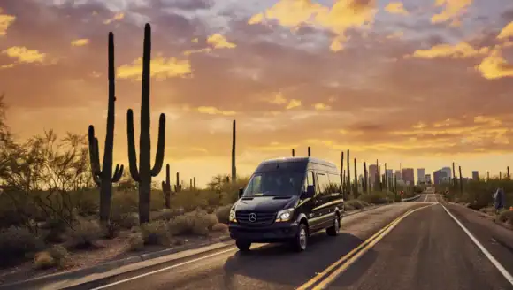
  • Shuttle, Mini & Charter Buses: Ideal for conventions, school trips, and long-distance transfers.

β€œFrom Strip transfers to Grand Canyon road trips, travel any route in comfort with Personal Sedan Services.”


πŸ“ž Call/Text: (702) 690-4914

Book a Ride for your Vegas Trip


How Far is Riverside, CA from Las Vegas?

Short Answer: Riverside, CA is approximately 220–230 miles from Las Vegas. The drive typically takes 3.5 to 4.5 hours, depending on traffic conditions. Book Now Distance and Drive Time Distance: ~220–230 miles Typical Drive Time: 3.5–4.5 hours Peak Traffic: 4.5–6+ hours The most common route is I-15 South through Southern California, connecting to CA-60 or

READ MORE

How Far is Riverside, CA from Las Vegas?

How Far is Phoenix, AZ from Las Vegas?

Short Answer: Phoenix, AZ is approximately 295–305 miles from Las Vegas. The drive typically takes 4.5 to 5.5 hours, depending on traffic and your destination within Phoenix. Book Now Distance and Drive Time Distance: ~295–305 miles Typical Drive Time: 4.5–5.5 hours Peak Traffic: 5.5–7+ hours The most common route is US-93 South connecting to I-40

READ MORE

How Far is Phoenix, AZ from Las Vegas?

How Far is Los Angeles, CA from Las Vegas?

Short Answer: Los Angeles, CA is approximately 260–280 miles from Las Vegas. The drive typically takes 4 to 5.5 hours, depending on traffic, day of week, and your destination within LA. Book Now Distance and Drive Time Distance: ~260–280 miles Typical Drive Time: 4–5.5 hours Peak Traffic: 5.5–7+ hours The most common route is I-15

READ MORE

How Far is Los Angeles, CA from Las Vegas?

How Far Is St. George, UT from Las Vegas?

Short Answer: St. George, UT is approximately 115–125 miles northeast of Las Vegas. The drive typically takes 1 hour 45 minutes to 2 hours 15 minutes, depending on traffic and weather. Book Now Distance and Drive Time Distance: ~115–125 miles Typical Drive Time: 1 hr 45 min – 2 hr 15 min Peak Traffic: 2

READ MORE

How Far Is St. George, UT from Las Vegas?

How Far Is Boulder City, NV from Las Vegas?

Short Answer: Boulder City, NV is approximately 25–30 miles southeast of Las Vegas. The drive typically takes 30–45 minutes, depending on traffic and your starting point. Book Now Distance and Drive Time Distance: ~25–30 miles Typical Drive Time: 30–45 minutes Peak Traffic: 45–60 minutes Most drivers take US-95 / I-515 toward Henderson and continue toward

READ MORE

How Far Is Boulder City, NV from Las Vegas?

How Far is Moapa Valley, NV from Las Vegas?

Short Answer: Moapa Valley, NV is approximately 60 miles northeast of Las Vegas. The drive typically takes 1 hour, depending on traffic and road conditions. Book Now Distance and Drive Time Distance: ~60 miles Typical Drive Time: 55–70 minutes Drivers typically take I-15 North toward Logandale and Overton. Route Map Route from Las Vegas to

READ MORE

How Far is Moapa Valley, NV from Las Vegas?

How Far is Centennial Hills from Las Vegas?

Short Answer: Centennial Hills is approximately 15–20 miles northwest of central Las Vegas. The drive typically takes 20–35 minutes, depending on traffic. Book Now View Our Fleet Distance and Drive Time Distance: ~15–20 miles Typical Drive Time: 20–35 minutes Peak Traffic: 35–50 minutes Most drivers use US-95 North or the 215 Beltway depending on their

READ MORE

How Far is Centennial Hills from Las Vegas?

How Far Is Winchester, NV from Las Vegas?

Short Answer: Winchester, NV is approximately 3–6 miles east of central Las Vegas. The drive typically takes 10–20 minutes, depending on traffic. Book Now View Our Fleet Distance and Drive Time Distance: ~3–6 miles Typical Drive Time: 10–20 minutes Peak Traffic: 20–30 minutes Common routes include Desert Inn Rd, Flamingo Rd, and US-95 depending on

READ MORE

How Far Is Winchester, NV from Las Vegas?

How Far is Whitney, NV from Las Vegas?

Short Answer: Whitney, NV is approximately 8–12 miles southeast of central Las Vegas. The drive typically takes 15–25 minutes, depending on traffic conditions. Book Now Distance and Drive Time Distance: ~8–12 miles Typical Drive Time: 15–25 minutes Peak Traffic: 25–35 minutes Most drivers use I-515 / US-95 or major surface streets depending on their exact

READ MORE

How Far is Whitney, NV from Las Vegas?

How Far is Sunrise Manor from Las Vegas?

Short Answer: Sunrise Manor is approximately 6–10 miles east of central Las Vegas. The drive typically takes 15–25 minutes, depending on traffic conditions. Book Now Distance and Drive Time Distance: ~6–10 miles Typical Drive Time: 15–25 minutes Peak Traffic: 25–35 minutes Common routes include US-95, Charleston Blvd, and Eastern Ave, depending on destination. Route Map

READ MORE

How Far is Sunrise Manor from Las Vegas?

How Far is Summerlin from Las Vegas?

Short Answer: Summerlin is approximately 9–15 miles west of central Las Vegas. The drive typically takes 15–25 minutes, depending on traffic and your exact starting point. Book Now View Our Fleet Distance and Drive Time Distance: ~9–15 miles Typical Drive Time: 15–25 minutes Peak Traffic: 25–40 minutes Most drivers use I-215 (Bruce Woodbury Beltway) or

READ MORE

How Far is Summerlin from Las Vegas?

How far is Enterprise, NV from Las Vegas?

Short Answer: Enterprise, NV is approximately 8–12 miles southwest of central Las Vegas. The drive typically takes 15–25 minutes, depending on traffic conditions. Book Now View Our Fleet Distance and Drive Time Distance: ~8–12 miles Typical Drive Time: 15–25 minutes Peak Traffic: 25–40 minutes Common routes include I-15, I-215, and major surface roads like Blue

READ MORE

How far is Enterprise, NV from Las Vegas?

How far is Paradise, NV from Las Vegas?

Short Answer: Paradise, NV is approximately 2–6 miles from central Las Vegas, depending on your starting point. The drive typically takes 5–15 minutes, though traffic can increase that during peak hours. Book Now Distance and Drive Time Distance: ~2–6 miles Typical Drive Time: 5–15 minutes Peak Traffic: 15–25 minutes Paradise includes much of the Las

READ MORE

How far is Paradise, NV from Las Vegas?

How Far is Spring Valley from Las Vegas?

Short Answer: Spring Valley is approximately 5–8 miles west of central Las Vegas. The drive typically takes 10–20 minutes, depending on traffic and your starting point. Book Now View Our Fleet Distance and Drive Time Distance: ~5–8 miles Typical Drive Time: 10–20 minutes Peak Traffic: 20–30 minutes Drivers commonly use Flamingo Rd, Tropicana Ave, or

READ MORE

How Far is Spring Valley from Las Vegas?

How Far Is North Las Vegas from Las Vegas?

Short Answer: North Las Vegas is approximately 5–10 miles from central Las Vegas, depending on your starting point. The drive typically takes 10–20 minutes, with longer times during rush hour. Book Now Distance and Drive Time Distance: ~5–10 miles Typical Drive Time: 10–20 minutes Peak Traffic: 20–35 minutes Common routes include I-15, US-95, and Las

READ MORE

How Far Is North Las Vegas from Las Vegas?

How Far Is Henderson from Las Vegas?

Short Answer: Henderson is approximately 15–20 miles from Las Vegas (depending on where you start and end). The drive typically takes 20–30 minutes, with longer times during peak traffic. Book Now Distance and Drive Time Distance: ~15–20 miles Typical Drive Time: 20–30 minutes Peak Traffic: 30–45 minutes Common routes include I-215 and I-515 / US-95,

READ MORE

How Far Is Henderson from Las Vegas?

How Far Is Downtown Las Vegas from the Las Vegas Strip?

Short Answer: Downtown Las Vegas is approximately 4 miles north of the Las Vegas Strip. The drive typically takes 10–15 minutes, depending on traffic and your exact starting point. Book Now View Our Fleet Distance Between Downtown Las Vegas and the Strip Distance: ~4 miles Typical Drive Time: 10–15 minutes Peak Traffic: 15–25 minutes Most

READ MORE

How Far Is Downtown Las Vegas from the Las Vegas Strip?

What’s the Best Way from the Las Vegas Airport to the Strip?

Las Vegas is a city like no otherβ€”bursting with energy, entertainment, and excitement from the moment you arrive. If you’re flying into Harry Reid International Airport (formerly McCarran International Airport), your adventure begins just a few miles from the heart of the action: the iconic Las Vegas Strip. While the distance is short, choosing the

READ MORE

What’s the Best Way from the Las Vegas Airport to the Strip?